|
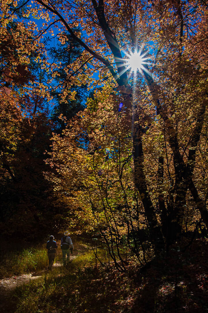
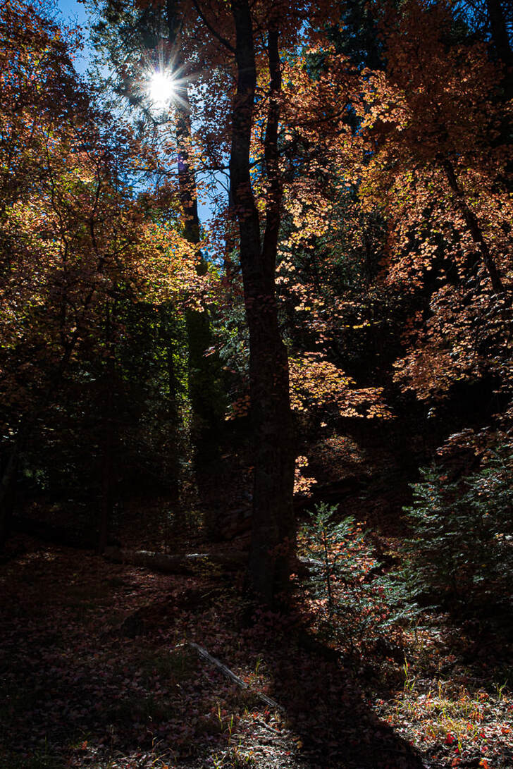
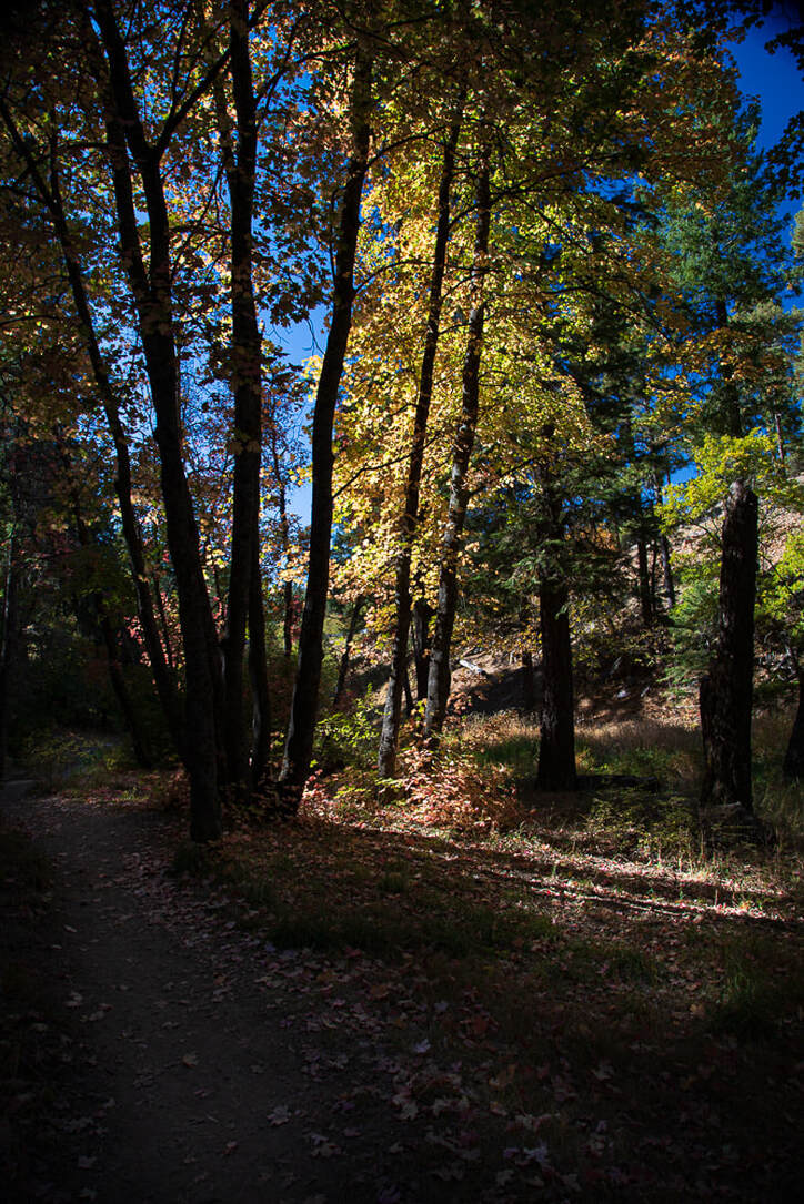
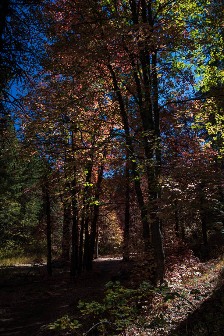
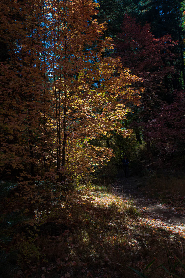
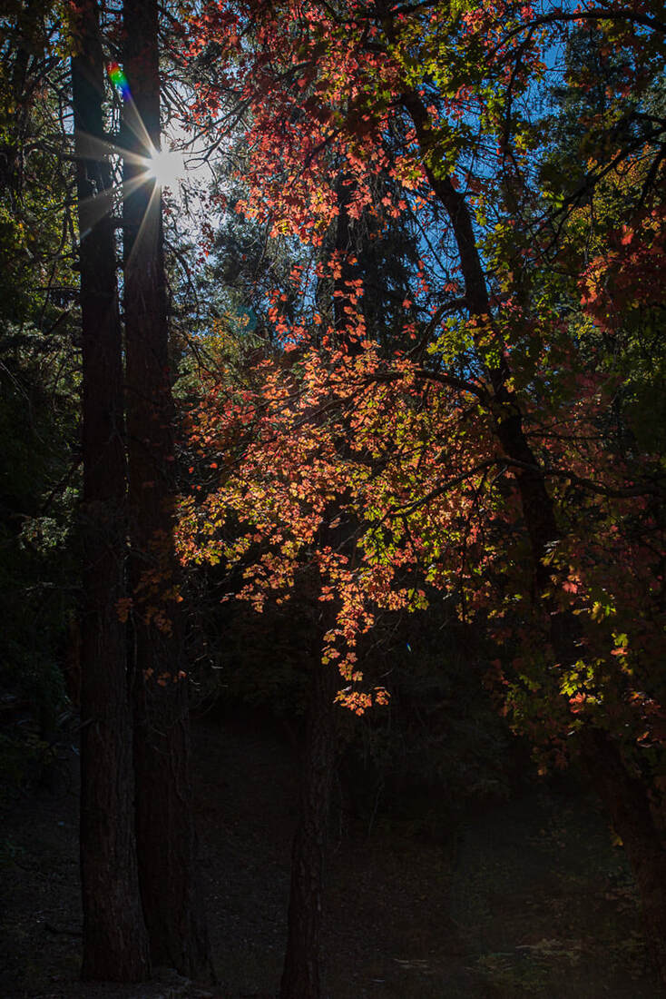
Bear Wallow, 9:12 am, October 23, 2020. Canon EOS R6 with EF 17-40 mm f/4L at 24 mm, 1/100 sec at f/22 ISO 1250 with polarizing filter. In special memory of Frank Rose (1927-2020) who touched so many people in so many ways, and for those on the mountain, awakened the wonders of flowers and trees in the Catalinas. We miss you Frank. Bear Wallow is a small valley that runs east to west not far from the top of the mountain at mile post 22. For a Map see this link. The trail through the valley can be accessed either from E. Upper Bear Wallow Road which runs east of the highway where it makes a hairpin turn, or from Soldiers Camp Road which is across the highway from the Butterfly Trailhead. There is a huge culvert, a tunnel if you like, that runs under the highway providing hikers and picnickers access the the valley on either side of the highway. The valley is loaded with oaks and maples, as well as varieties of pine trees. If you are not from Tucson, this valley is a one hour drive north of Tucson at at 7800 feet. Yes, you can go from the Sonoran Desert to pines, oaks and maples in an hour. About 30 degrees cooler also! Canon EOS R6 with EF 17-40 mm f/4L at 35 mm, 1/60 sec at f/22 ISO 800 with polarizing filter. For the photo geeks: Fall is a good time to ignore the common wisdom of shooting with the sun at your back, and instead shoot into the sun and catch the leaves transilluminated. To get the star burst effect of the sun set your aperture at ~ f/22, and/or line up the sun right at the edge of a trunk or branch. Add a polarizing filter to darken the sky and eliminate reflections from leaves, enhancing their color. Note that polarizers only work when shooting at 90 degrees to the sun. For a great article on shooting in the fall, see Fall Color Fundamentals, text and photos by Kevin McNeal in the September 2020 issue of Outdoor Photographer. Canon EOS R6 with EF 17-40 mm f/4L at 24 mm, 1/50 sec at f/8 ISO 125 with polarizing filter. For this photo shoot I parked by the side of E. Upper Bear Wallow Road, which runs east from the highway right at the hairpin turn. See the map below. The road runs the length of the wallow to the east, then turns uphill and becomes E. Mt Bigelow Road up to the U of A Observatory and the radio towers. 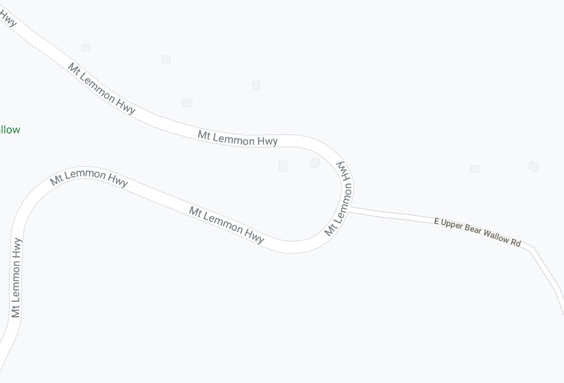 These images were captured east and west of the highway, on either side of the huge culvert that runs under the highway. In October the sun is getting lower in the sky and the lighting will change as the day progresses. Canon EOS R6 with EF 17-40 mm f/4L at 28 mm, 1/100 sec at f/22 ISO 1600 with polarizing filter. Canon EOS R6 with EF 17-40 mm f/4L at 40 mm, 1/100 sec at f/22 ISO 1600 with polarizing filter. Canon EOS R6 with EF 17-40 mm f/4L at 45 mm, 1/100 sec at f/11 ISO 640 with polarizing filter. November is still fall, but the leaves have fallen and we have seen our first snow a week ago. More soon. Stay safe, stay well. Happy trails!
3 Comments
Linda Currin
11/14/2020 10:14:42 am
Of course, spectacular as always, even without the birds this time. Thank you so much for your wonderful talents so I can continue to see our mountain!! Happy fall and Happy Thanksgiving too!!
Reply
Mary Lou Piatkiewicz
11/14/2020 10:39:34 am
Soo Beautiful!!! Thank you for sharing 🤗
Reply
11/14/2020 07:56:35 pm
Interesting on the map: there are two cabin sites INSIDE the 180 degree curve of the highway, i.e. right below the culvert. If you hike around there, these cabins are long gone, but rests of foundations are still around.
Reply
Leave a Reply. |
AuthorHenry Johnson, photographer and author of this site. For more detail, see About
Categories
All
Archives
July 2024
|
 RSS Feed